

“And into the forest I go, to lose my mind and find my soul.” – John Muir

Day 1 - Lower Portals Car Park to Barney Creek Junction
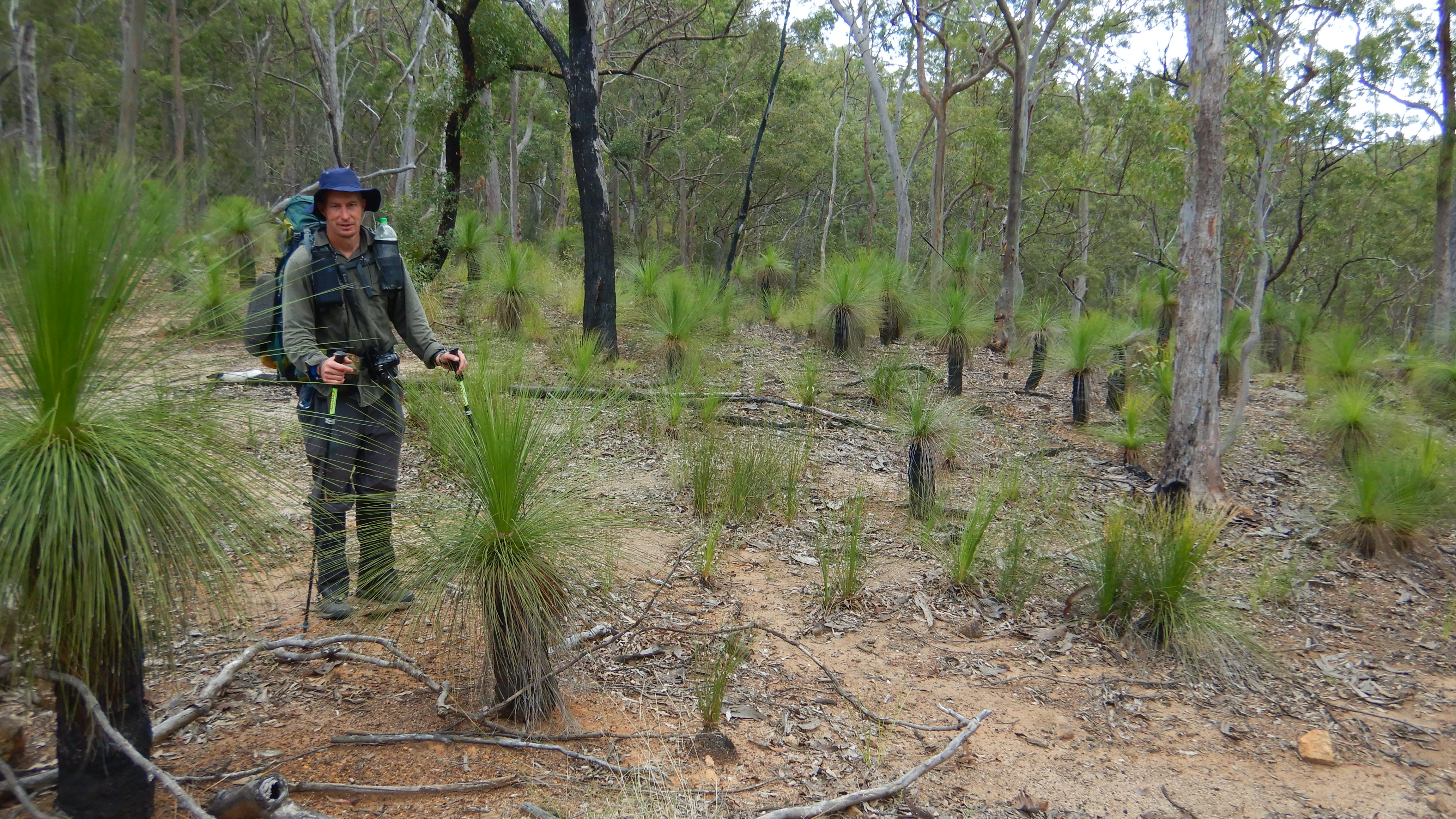
The plan was set, the packs were packed and off we went. Our son and daughter would join us with their partners to the Lower Portals for a nice relaxing swim and lunch. For some reason, they did not offer to carry our packs even when I hinted at it. Kerrie's pack was about 16 kg and mine about 25 kg (including a 20-metre rope, just in case).
The way into the Lower Portals is along a well-worn (somewhat eroded) track and we passed several people and also a large group. We arrived at the Lower Portals and squeezed through the hole in the rocks (tight fit for our bags) to get to the main swimming hole. Here we enjoyed the cool water and a nice lunch with the whole family. The resident catfish gave us some entertainment, with our son being nibbled on and some other members of the family being very cautious in the water.
We soon said goodbye and Kerrie and I set off alone upstream, but not along the creek, rather up over the range and back down to Barney Creek Junction campsite. This was a fairly easy hike along a worn track that was also marked with pink tape, where it was a bit ambiguous.
We got to the campsite early (it was less than one hour from the Lower Portals) around 1:30 pm and decided to investigate Barney Falls today instead of the next day, i.e. only spend one night here instead of two.
We set up camp left most of our gear there and only took my pack with water, first aid kit, and PLB. As we were about to head downriver, another couple came along who were also heading back downstream towards the Lower Portals. So we joined up and headed off to find Barney Falls. There is no track along the creek and we rock hopped our way past beautiful rock pools, cascades, and huge boulders. It was about 1.4 km to Barney Falls, which took us just over an hour. The falls were a surprise, being much taller than anticipated with a good amount of water coming over them. We hung around for a while, enjoying the falls, before saying goodbye to the other couple and we headed back upstream (they downstream) towards our campsite.
We were the only ones camping here for the night and we enjoyed the magic of nature.


Day 2 - Barney Creek Junction to Upper Portals
We got up with the birds, or maybe we woke the birds, and I enjoyed a couple of nice cups of coffee to get me started for the day. The previous day we talked to a lady who led us to believe that there is a track along the creek towards the Upper Portals. With this in mind, we thought to possibly get further today than the Upper Portals campsite. This illusion was soon shattered.
The creek bed looked pretty slow going and we didn't see the said path, so we headed up the range a bit to see whether the elusive path runs parallel to the creek further up. All we achieved was to do a bit more hill work before dropping back into the creek and start our day rock-hopping and scrambling. Although we didn't find any path and it was extremely slow going in the creek, we really enjoyed following the creek.
With so many great waterholes, we were not entirely sure which one was actually Midgets Waterhole, but we found what would be a very good campsite beside one of them about halfway between the Barney Creek Junction and Upper Portals.
The water level for rock hopping up the creek was perfect, with just enough water for swimming but not too much to make going too difficult. It certainly would be a lot harder if water levels were higher.
I was glad to use our rope on some wet and slippery descents, i.e. I didn't carry 1.3 kg of rope for nothing. Although you probably would be able to detour around the dodgy sections.
We ended up taking more than 7 hours to do just under 4 km up the creek, but this included morning tea, lunch, and swimming stops as well as a lot of photography. Needless to say, when we got to the Upper Portals Camp (i.e. Yamahra Creek Camp), we decided to make it home for the night. Once again we were the only campers there and soon were settled for the night after a nice meal of Kerrie's dehydrated satay beef with rice.


Day 3 - Upper Portals to Mt May Saddle
Today we would move away from the creek and head towards Mt May Saddle campsite. Knowing that we had to cross a creek several times, but not certain that it contained water, we filled up to provide about 36 hours of water i.e. 11 litres. This added weight gave us an extra challenge and of course, the creek crossings had a lot of water in them. We could have filled up our water at the last crossing and saved ourselves 2.5 km of heavy slogging!
Following the forestry track out of the Upper Portals and then the road towards Waterfall Creek Reserve camp area (this was our fastest traveling for the whole hike), before we turned off to tackle Mt May's south peak. From here we really felt the weight of the packs with the extra water as we followed a steep footpad up to the peak.
We huffed, puffed, and sweated until we reached the final rock scramble near the top of the south peak. Just in time for the rain to start and making the scramble a bit precarious. We dropped our packs and I scrambled up with the rope, which we used to haul up the packs as well as give support for Kerrie. At that time Kerrie was not too happy about the slippery rock scramble, but she soon forgave me once she saw the views from the top.
On the way into the saddle and the promised camp (once again we were pretty stuffed), we missed the track and had to scramble down some more rock slabs to get back onto track soon after. The track is a bit eroded and shaly and we took care not to slip.
It was only about 2 pm when we put up the tent just in time before the rain set in. Not sure why we carted all our water up the mountainside when it was freely falling from the sky that afternoon (I guess better safe than sorry). The campsite is perfectly located in the saddle providing shelter from the wind and awesome views of the surrounding area. Once again there is no one else here and we are baffled how there is supposed to be enough space for 12 people camping, according to the National Park website. If you have a tight squeeze, you may fit 3 x two-person tents here, but no more.
We had an early dinner in the tent and went to sleep with the sound of rain.


Day 4 - Mt May Saddle to Lower Portals Car Park
After we went to sleep it only rained for a couple more hours and we awoke to a fine day. I encouraged Kerrie to drink up and reduce the water weight. I hate tipping out water on a hike. We were left with 5 litres, which should see us through the day. It is amazing how much lighter the packs feel and we have renewed spring in our steps.
Mt May north is a bit lower than the south peak and it was a pretty easy ascent. From the top, we initially headed down north on the track towards Waterfall Creek Reserve, before turning east along the ridgeline that eventually will take us down to Barney Creek. The hike down the ridge is pretty much off track with only occasional signs of a vague track, but you cannot get lost as long as you don't descend down the steep sides.
The views of Mt Barney National Park from here are unrivaled and we are taking lots of stops to soak it up and take photos. Before we got to Paddys Peak, we thought we hit a wall and had to turn around. We were faced with a rock/hill/peak with sides fit for rock climbing. Our hearts sank a little until we found a pretty straightforward way of skirting the rockface on the right (south/west) side.
After reaching Paddys Peak it was plain sailing down a gentle slope to Barney Creek. The trek from Mt May saddle to Barney Creek took us around 5 hours (with normal stoppage in-between). From Barney Creek, it was an easy finish to the Lower Portals car park. As always we were much relieved to find our car intact after abandoning it for several days.
Although we didn't cover much distance, it was a great sense of achievement and an amazing experience that we would strongly recommend for anyone with a bit of navigation and hiking experience.


Length of Hike
30 km approx
Time
4 days (3 nights)
Best Time to do
Anytime, except when raining or after recent rain.
Difficulty
Hard. Some tracks but mainly off-track hiking (no facilities).
No comments:
Post a Comment